Google’s new AI tech may know when your house will burn down

Wildfires continue to pose a significant threat worldwide, with devastating burns occurring in various regions from Australia to the Amazon to the United States. The deadly wildfires that swept through Los Angeles in January were estimated to have caused more than $250 billion in damages, highlighting the urgent need for improved wildfire detection and management strategies.
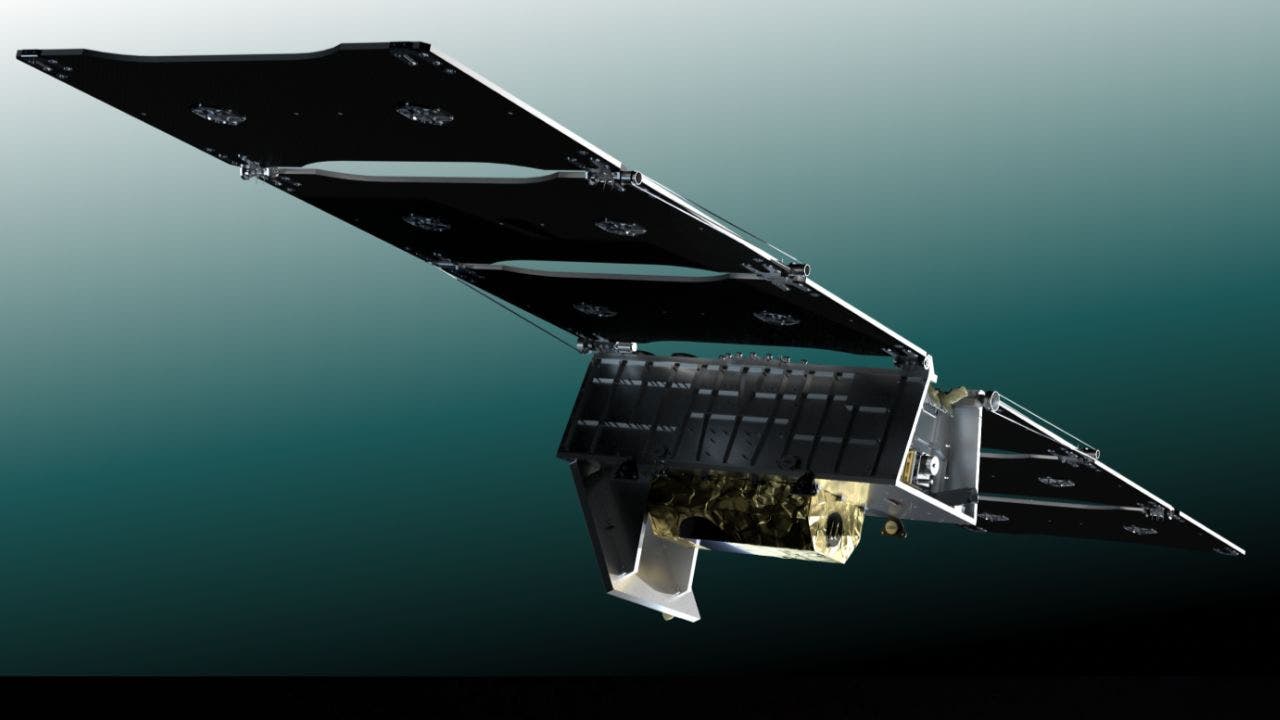
In response to this growing challenge, a new satellite project called FireSat has been launched with the goal of detecting and tracking wildfires early. Unlike current satellite imagery, which is often low resolution and infrequently updated, FireSat aims to spot fires as small as 270 square feet within just 20 minutes of ignition. This early detection capability could help prevent small fires from escalating into uncontrollable infernos.
The FireSat constellation will consist of more than 50 satellites equipped with custom six-band, multispectral infrared cameras designed to capture imagery suitable for machine learning algorithms. These algorithms can accurately identify wildfires and distinguish them from misleading objects like smokestacks, enabling rapid response and containment efforts.
One of the key challenges faced by the FireSat team was differentiating between real fires and environmental “noise.” Through the use of artificial intelligence, the project team was able to develop a new AI model that can rapidly analyze satellite imagery and identify potential wildfire hotspots based on factors like nearby infrastructure and local weather conditions.
The long-term vision for FireSat includes creating a global historical record of fire spread to help scientists better understand wildfire behavior and improve predictive modeling. The project is a collaborative effort between Google Research, satellite manufacturer Muon Space, and other partners in the Earth Fire Alliance, a nonprofit organization dedicated to using technology to prevent the devastating impact of wildfires.
With the first FireSat satellite already launched and the full constellation expected to be in orbit by 2030, this ambitious project has the potential to revolutionize wildfire management and protect lives, homes, and the environment. By detecting fires faster, containing them more effectively, and minimizing their impact, FireSat represents a significant step forward in the fight against wildfires.
If FireSat had been operational during the last major wildfire in your area, the outcome may have been very different. The project’s innovative technology and early detection capabilities have the potential to save lives and mitigate the devastating effects of wildfires. As we continue to face the growing threat of wildfires, initiatives like FireSat offer hope for a safer and more resilient future.


